San Francisco Peninsula, 1869


San Francisco Peninsula, 1869
$850.00
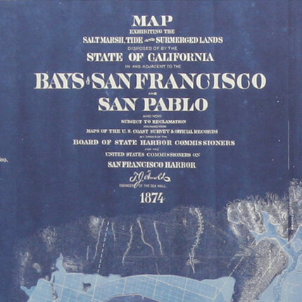
This map from the David Rumsey Map Collection is a redesigned reproduction of a vintage map created by the US Coast Survey and is one of the first coast survey charts to use contour lines instead of color. The report for which this map was created was published in 1872 and was the House of Representatives report from the 41st Congress, 2d Session. The map's original price was $1.50.
Archival Pigment Print on Maple
36"w X 24"h
*Please contact for shipping quote; 4-6 week lead time. Hanging hardware included.
Quantity: