Bancroft's Official Guide Map of City & County of San Francisco, 1873


Bancroft's Official Guide Map of City & County of San Francisco, 1873
$950.00
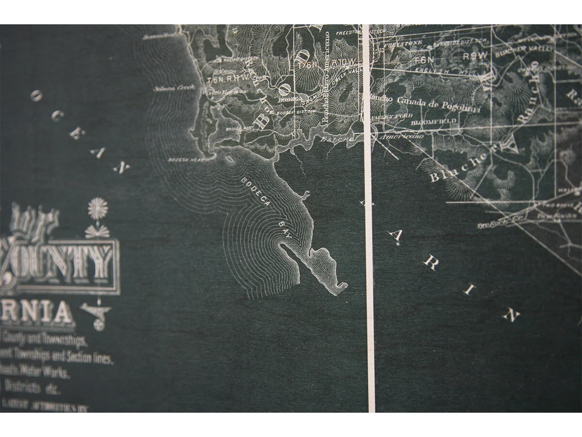
This artwork is a redesigned reproduction of a vintage map from the David Rumsey Map Collection. Compiled from official maps in the Surveyor's Office, this guide to San Francisco originally sold for $0.25 and features the downtown area filled in solid with buildings and new development pushing outward. Concentric circles were added showing distances from the Ferry Building, and the internal development of Golden Gate Park has been extended all the way to Ocean Beach.
Archival Pigment Print on Aluminum
30"w X 24"h
*Please contact for shipping quote; 4-6 week lead time. Hanging hardware included.
Quantity: